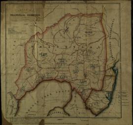
Sketch map of the Transvaal Territory, with population statistics
- ZA HPRA A1655-E-E3
- Unidad documental simple
- 1878-1880
Parte deDonald Rolfe Hunt Papers
Additions March 1880.

Sketch map of the Transvaal Territory, with population statistics
Parte deDonald Rolfe Hunt Papers
Additions March 1880.
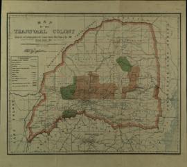
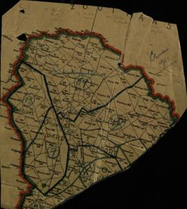
Sekukuni and Kgolani Location (Geluks Location)
Parte deDonald Rolfe Hunt Papers
Parte deDonald Rolfe Hunt Papers
Revised October 1907
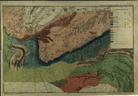
Portions of Lydenburg and Zoutpansberg districts, including the Haenertsburg Gold Fields
Parte deDonald Rolfe Hunt Papers
Portions of Zoutpansberg, Watersberg and Lydenburg districts
Parte deDonald Rolfe Hunt Papers
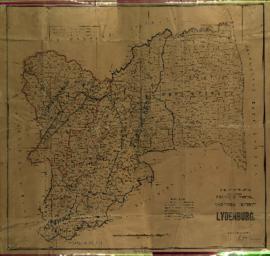
Portions of Middleburg and Lydenburg districts
Parte deDonald Rolfe Hunt Papers
Parte deDonald Rolfe Hunt Papers
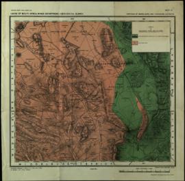
Magisterial District of Lydenburg (Sekukuniland)
Parte deDonald Rolfe Hunt Papers
Reprinted October 1910
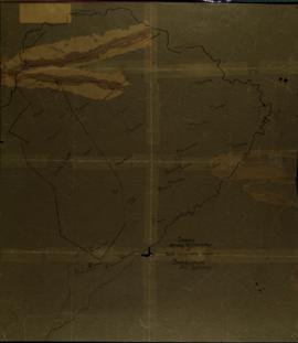
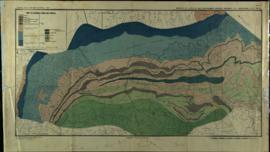
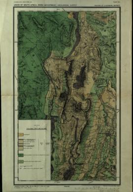
Diagram showing the distribution of cattle concentration camps, Sekukuniland, District Lydenburg
Parte deDonald Rolfe Hunt Papers
Parte deDonald Rolfe Hunt Papers