Identity area
Reference code
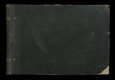
Title
Date(s)
- 1920s (Creation)
Level of description
Fonds
Extent and medium
1 oversize bound map book, 50 pages
Context area
Name of creator
Administrative history
Archival history
Immediate source of acquisition or transfer
Donated by Professor Kathy Munro, who purchased it from James Findlay antiquarian books on one of his auctions in 2021, to whom it was being sold by a private owner who had been given it by Westgate Walding and dated back to the time when this auctioneering company was also in property transactions
Content and structure area
Scope and content
The map book contains an index in original handwriting, with an additional typescript inclusion for new townships. All townships in the Municipal area are drawn to a scale of 400ft to the inch. The maps of the various townships include every stand number per street that existed at the time.
Appraisal, destruction and scheduling
Accruals
System of arrangement
Conditions of access and use area
Conditions governing access
Conditions governing reproduction
Language of material
Script of material
Language and script notes
Physical characteristics and technical requirements
Finding aids
Allied materials area
Existence and location of originals
The map book is held at the Architecture Library, University of the Witwatersrand.
Existence and location of copies
Related units of description
Publication note
Published by the Map Office, Johannesburg, Fox street. Undated, but approximately 1920s.