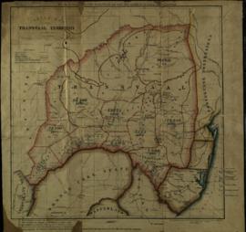
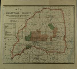
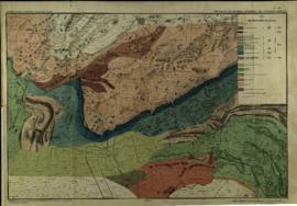
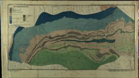
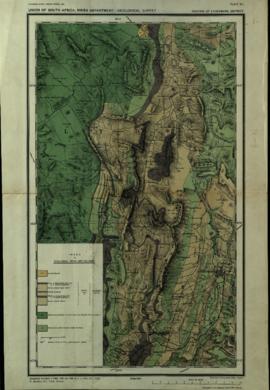
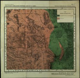
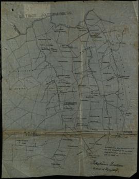
Reeks E - Maps

Sekukuni and Kgolani Location (Geluks Location) Sketch map of the Transvaal Territory, with population statistics Key map of the Transvaal "showing lands occupied by Natives" Map of the Transvaal Colony Portions of Zoutpansberg, Watersberg and Lydenburg districts Portions of Lydenburg and Zoutpansberg districts, including the Haenertsburg Gold Fields Portion of Lydenburg district Portions of Middleburg and Lydenburg districts Diagram showing the distribution of cattle concentration camps, Sekukuniland, District Lydenburg Sekukuni's Location, District of Lydenburg
Resultaten 1 tot 10 van 15 Show all

Identificatie

referentie code

ZA HPRA A1655-E

Titel

Maps

Datum(s)

  • 1878-1921 (Vervaardig)

Beschrijvingsniveau

Reeks

Omvang en medium

14 maps

Context

Naam van de archiefvormer

(20th century)

Geschiedenis van het archief

Directe bron van verwerving of overbrenging

Inhoud en structuur

Bereik en inhoud

Waardering, vernietiging en slectie

Aanvullingen

Ordeningstelsel

Voorwaarden voor toegang en gebruik

Voorwaarden voor raadpleging

Voorwaarden voor reproductie

Taal van het materiaal

Schrift van het materiaal

Taal en schrift aantekeningen

Fysieke eigenschappen en technische eisen

Toegangen

Uploaded finding aid

Verwante materialen

Bestaan en verblifplaats van originelen

Bestaan en verblijfplaats van kopieën

Related units of description

Related descriptions

Aantekeningen

Alternative identifier(s)

Trefwoorden

Onderwerp trefwoord

Geografische trefwoorden

Naam ontsluitingsterm

Genre access points

Beschrijvingsbeheer

Identificatie van de beschrijving

Identificatiecode van de instelling

Toegepaste regels en/of conventies

Status

Niveau van detaillering

Verwijdering van datering archiefvorming

Taal (talen)

Schrift(en)

Bronnen

Voorwaarden voor raadpleging en gebruik

Related subjects

Related people and organizations

Related genres

Related places