Identity area
Reference code
ZA HPRA AG2738-I
Title
Maps
Date(s)
- 1980s (Creation)
Level of description
Series
Extent and medium
Context area
Name of creator
Archival history
Immediate source of acquisition or transfer
Content and structure area
Scope and content
Set of 1:50000 maps in a roll, including the areas:
Roukoop, Moloporivier, Vergelee, Cremona, Makgori, Gemsbokvlakte, Phitshane, Mogosane, Ramatlhabama, Ottoshoop, Mafikeng, Morokweng, Northridge, Piet Plessis, Cumnor, Tlhagameng, Leeudraai, Dirkiesrus, West End, Mareetsane, Madibogo, Kraaipan, Thusong, Itsoseng, Deelpan, Biesiesvlei.
Appraisal, destruction and scheduling
Accruals
System of arrangement
Conditions of access and use area
Conditions governing access
Conditions governing reproduction
Language of material
Script of material
Language and script notes
Physical characteristics and technical requirements
Finding aids
Allied materials area
Existence and location of originals
Existence and location of copies
Related units of description
Notes area
Note
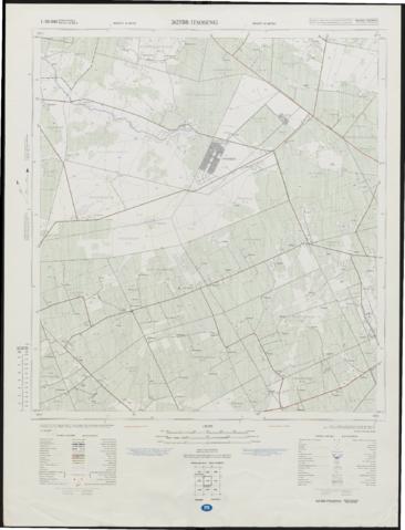
The map which is displayed here, covers the town of Itsoseng and surrounding ares, dated 1983.
Itsoseng is a town in the North West province of South Africa. It was established in 1963 on the farm De Hoop and became part of Bophuthatswana in 1977. At that time, the town was renamed from De Hoop to Itsoseng.